

Living West of Glover-Archbold Park: A DC Neighborhood Guide
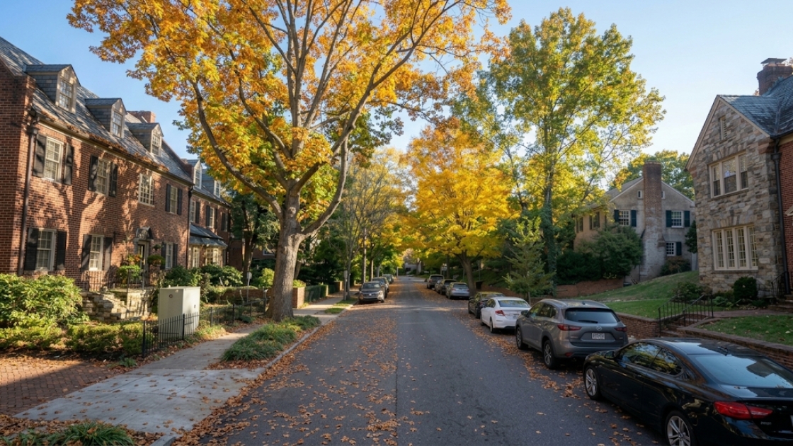
West of Glover-Archbold Park, a string of seven Northwest Washington neighborhoods share more than a zip code or two. Spring Valley, Wesley Heights, Berkley, Foxhall, the Palisades, Burleith, and Cathedral Heights all sit along the same wooded corridor, each shaped in some way by the same 183-acre stream-valley park that runs from Van Ness Street down to the edge of Georgetown. Matt Cheney works with buyers and sellers across this corridor regularly, and this guide lays out what actually distinguishes one of these neighborhoods from the next: boundaries, housing stock, history, and the practical differences that matter when comparing them.
What Ties These Seven Neighborhoods Together
Glover-Archbold Park is the common thread. Administered by the National Park Service as part of the larger Rock Creek Park system, the park covers roughly 183 acres and follows the stream valley of Foundry Branch from Van Ness Street NW down to Canal Road NW at the edge of Georgetown. A nearly 2.5-mile natural-surface trail runs the length of it, open to foot traffic only, no bicycles. Charles C. Glover and Anne Archbold donated the land to the District in 1924, originally intended as a bird sanctuary, and the park was added to the National Register of Historic Places in 2007.
Each of the seven neighborhoods in this guide touches that park at some point along its boundary, whether that’s the western edge of Wesley Heights, the eastern line of Berkley and Foxhall, or the wooded western edge of Burleith. Six of the seven sit in Ward 3; Burleith sits just across the ward line in Ward 2. Most of the corridor falls in zip code 20016 or 20007, depending on how far south a given neighborhood sits.
Spring Valley
Spring Valley occupies the far western edge of the District, an oddly shaped semicircle bounded by Massachusetts Avenue to the northeast, Dalecarlia Parkway to the west, and Loughboro Road and Nebraska Avenue to the south. American University’s main campus sits inside Spring Valley’s boundaries, along with the Wesley Theological Seminary on Massachusetts Avenue.
Development here followed World War I, when builders W.C. and A.N. Miller put up the neighborhood’s brick Colonials, with a smaller number of Tudors mixed in. Streets are winding and hilly, lined with mature oak trees, and homes generally get larger farther south, away from Massachusetts Avenue. Before that residential development, the Army used part of the land as a munitions testing site. The Army Corps of Engineers has conducted remediation work in the area over a period of decades, an ongoing and publicly documented process. Buyers researching Spring Valley are encouraged to review current Army Corps of Engineers records directly, as the scope and status of remediation activity can change over time.
Wesley Heights
Wesley Heights sits just south of Spring Valley and traces back to 1890, when a land group led by John Waggaman and funded by Charles C. Glover founded it; brothers William C. and Allison N. Miller carried out most of the residential development in the 1920s. Modern boundaries run along Massachusetts Avenue to the east, Nebraska Avenue to the north, Battery-Kemble Park to the west, and Glover Parkway to the south, with Foxhall Road and New Mexico Avenue as the main roads running through it.
Wesley Heights is recognized as one of the country’s earlier planned communities, and in 1992 the DC Zoning Commission approved a Wesley Heights Zoning Overlay specifically to preserve the scale and design of its original housing stock. Homes are a mix of Tudors, Colonials, bungalows, and Cape Cods, generally set on large rectangular lots. Horace Mann Elementary School and American University both sit nearby. As with any neighborhood, school assignments, boundaries, and program availability can change, so buyers should verify current details directly with DC Public Schools rather than relying on any single source.
Berkley
Berkley is bounded by Wesley Heights Park to the north, MacArthur Boulevard to the southwest, Battery Kemble Park to the west, and 44th Street and Foxhall Road to the east, with Glover-Archbold Park just beyond that eastern line. That layout means Berkley is bordered by parkland on three of its four sides, a physical characteristic that buyers comparing it to more densely built neighborhoods in the corridor may find worth noting when evaluating the trade-offs of each. The neighborhood is home to the Embassy of Germany and George Washington University’s Mount Vernon Campus.
Housing in Berkley leans toward American Craftsman-style and Colonial homes on larger, lower-density lots. It falls in zip code 20007, the same zip Matt has built specific, hands-on experience in through years of transactions in Foxhall and the Palisades.
Foxhall
Foxhall, sometimes called Foxhall Village, is bordered by Reservoir Road to the north, Foxhall Road to the west, Glover-Archbold Park to the east, and P Street NW to the south. Construction started along Reservoir Road and Greenwich Parkway in the mid-1920s, and by the end of 1927 roughly 150 homes had gone up under the Foxhall Village name. The neighborhood takes its name from Henry Foxall, a Georgetown mayor whose surname is spelled differently from the road and neighborhood that bear it.
Architecturally, Foxhall stands apart from the rest of the corridor: the large majority of homes are brick Tudor Revival rowhouses rather than the detached single-family homes found in Spring Valley, Wesley Heights, or Berkley. The Foxhall Village Historic District was added to the National Register of Historic Places in 2007. Like Berkley and the Palisades, Foxhall sits in zip code 20007.
The Palisades
The Palisades runs along the Potomac River from the edge of the Georgetown University campus at Foxhall Road all the way to the DC-Maryland boundary near the Dalecarlia Treatment Plant, making it long and narrow rather than compact. MacArthur Boulevard, originally called Conduit Road because it was built atop the Washington Aqueduct, is the neighborhood’s main thoroughfare, and most residential streets run perpendicular to it. A sub-area at the northern end, Potomac Heights, is bounded by MacArthur Boulevard, Loughboro Road, Arizona Avenue, and the river itself.
The Palisades was subdivided in 1893 by the Palisades Improvement Company, and streetcar service connecting it to Georgetown and Glen Echo arrived just two years later. Today the neighborhood hosts a year-round Sunday farmers market along MacArthur Boulevard and sits close to both the Capital Crescent Trail and the C&O Canal towpath. Most of the Palisades falls in zip code 20007, with the northern end reaching into 20016, another area where Matt has direct, ongoing transaction experience.
Burleith
Burleith is the one corridor neighborhood that sits in Ward 2 rather than Ward 3, bounded by 35th Street to the east, Reservoir Road and the historic Georgetown district to the south, Whitehaven Parkway to the north, and Glover-Archbold Park to the west. The land traces back to an 1886 purchase by the Huidekoper family, who kept most of it as woods and fields; Shannon and Luchs, Inc. bought the property in 1922 and built roughly 450 of the neighborhood’s homes between 1923 and 1928, with about 535 homes total making up the neighborhood today.
The housing stock is a recognizable, uniform style: two-story brick rowhouses with distinctive sloped rooflines, arranged on blocks where the corner units are boxier brick structures anchoring each row. Burleith is home to the Duke Ellington School of the Arts and the primary campus of the Washington International School. It’s a small, entirely residential footprint within easy walking distance of Georgetown’s commercial corridor along M Street and Wisconsin Avenue.
Cathedral Heights
Cathedral Heights takes its name from the Washington National Cathedral, which sits at the center of the neighborhood. It’s bordered by Tenleytown to the north, Cleveland Park to the northeast, Woodley Park to the east, American University Park to the west, and Glover Park to the south, with a commercial corridor of shops and restaurants running along Wisconsin Avenue.
Unlike most of the rest of the corridor, Cathedral Heights’ housing stock is dominated by larger apartment, condo, and co-op buildings, alongside some single-family and Edwardian-style rowhouses. The neighborhood doesn’t have its own citizens association, and its exact boundaries are debated even among longtime residents, since it sits wedged between more clearly defined neighbors. That lack of a single, agreed-upon boundary is worth knowing going in, since it means the same address might get described as Cathedral Heights, Glover Park, or Woodley Park depending on who you ask.
You may also like: Foxhall vs. Palisades: Which Northwest DC Neighborhood Is Right for You, Georgetown vs. Wesley Heights: Which Northwest DC Neighborhood Is Right for You, and Glover Park vs. Woodley Park: Which Northwest DC Neighborhood Fits Your Next Move
Getting Around West of Glover-Archbold
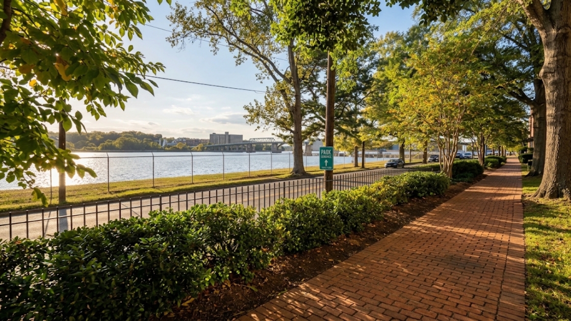
Massachusetts Avenue is the main artery through the northern end of the corridor, running past American University and Wesley Theological Seminary in Spring Valley and forming the eastern edge of Wesley Heights. Foxhall Road cuts through Wesley Heights and Foxhall on its way toward Georgetown, while MacArthur Boulevard, the old Conduit Road built atop the Washington Aqueduct, is the spine of the Palisades and one of the main routes in and out of the District along the river. Wisconsin Avenue anchors the eastern side of Cathedral Heights with its shopping and dining corridor, and Reservoir Road links Foxhall and Burleith into Georgetown proper.
Beyond the Glover-Archbold trail itself, the corridor connects into a broader network for anyone who walks, runs, or bikes: the Capital Crescent Trail and the C&O Canal towpath both run along the Palisades and into Georgetown, and Battery Kemble Park adds another stretch of green space along the Berkley and Wesley Heights line. Landmarks along the corridor include the Washington National Cathedral in Cathedral Heights, Sibley Hospital near the northern end of the Palisades, and the Kreeger Museum just off Foxhall Road.
Comparing the Seven Neighborhoods
Grouped together, these seven neighborhoods look similar on a map, but the differences matter once you’re comparing actual properties:
- Housing stock: Spring Valley, Wesley Heights, and Berkley are dominated by detached single-family homes on larger lots. Foxhall and Burleith are almost entirely rowhouses, though built in very different styles, brick Tudor Revival in Foxhall versus the uniform Shannon and Luchs rowhouses in Burleith. The Palisades mixes detached homes with some multifamily buildings along MacArthur Boulevard. Cathedral Heights is the outlier, built up mostly with apartment, condo, and co-op buildings.
- Ward and zip code: Burleith is the only one of the seven in Ward 2; the rest sit in Ward 3. Zip codes split mainly between 20016 (Spring Valley, Wesley Heights, and the northern Palisades) and 20007 (Berkley, Foxhall, most of the Palisades, and Burleith), with Cathedral Heights also in 20016.
- Shape and geography: Berkley is compact and bordered by parkland on three sides. The Palisades is long and narrow, tracing the river for roughly two miles. Foxhall and Burleith are each small, tightly bounded footprints built out over just a few years in the 1920s.
- Historic recognition: The Foxhall Village Historic District and Glover-Archbold Park are both listed on the National Register of Historic Places. Wesley Heights has its own zoning overlay, approved in 1992, that governs new construction and additions to protect its original design.
What This Means for Buyers and Sellers in the Corridor
The one amenity every neighborhood in this guide shares is direct or near-direct access to the Glover-Archbold trail system, which is a meaningful factor for buyers who want green space without leaving the District. Beyond that, the differences in housing stock, from a Foxhall rowhouse to a Wesley Heights Tudor to a Cathedral Heights co-op, mean the corridor covers a wider range of price points, maintenance responsibilities, and lifestyles than the “west of the park” label might suggest at first glance.
For buyers prioritizing schools, commute, parks, housing type, and long-term flexibility, these seven neighborhoods are worth comparing carefully against each other rather than treated as interchangeable. School assignments and boundaries can change, so verify current information directly with DC Public Schools for any specific address under consideration.
Bright MLS is the source Matt uses for current pricing, inventory, and days-on-market figures across this corridor, and those numbers shift regularly enough that they’re better handled address by address than summarized in a general guide like this one. Buyers or sellers who want current figures for Spring Valley, Wesley Heights, Berkley, Foxhall, the Palisades, Burleith, or Cathedral Heights specifically are welcome to reach out to Matt directly for an up-to-date read on any of these seven markets.
Frequently Asked Questions About Living West of Glover-Archbold Park
What neighborhoods make up the west of Glover-Archbold corridor?
Spring Valley, Wesley Heights, Berkley, Foxhall, the Palisades, Burleith, and Cathedral Heights. All seven border Glover-Archbold Park at some point along their boundary, which is the common thread that ties them together as a corridor.
Is Cathedral Heights considered part of Glover Park?
They’re generally treated as separate neighborhoods, with Cathedral Heights to the north of Glover Park, but Cathedral Heights has no citizens association of its own and its precise boundaries aren’t universally agreed upon among residents. Depending on the source, an address near the dividing line might be described as either neighborhood.
What’s the difference between Foxhall and Foxhall Village?
The two names are generally used for the same place. Foxhall Village refers specifically to the Tudor Revival rowhouse community built in the 1920s and listed on the National Register of Historic Places, while Foxhall is the broader, more commonly used name for the same neighborhood and the road that runs through it.
Which of these neighborhoods have rowhouses instead of detached homes?
Foxhall and Burleith are both built out almost entirely in rowhouses, though in different architectural styles. Spring Valley, Wesley Heights, and Berkley are dominated by detached single-family homes, the Palisades has a mix of both, and Cathedral Heights is mostly larger apartment, condo, and co-op buildings.
How can I get current home prices for one of these neighborhoods?
Bright MLS figures for this corridor change regularly enough that they’re best requested directly rather than pulled from a general guide. Contact Matt Cheney for current, address-specific pricing, inventory, or days-on-market figures for any of these seven neighborhoods.
The seven neighborhoods west of Glover-Archbold Park share a park system, a general sense of scale, and, for many residents, a preference for staying close to nature without leaving the District. Beyond that, each one has its own history and its own answer to what daily life there actually looks like.
About Matt Cheney
Matt Cheney is a top-producing real estate advisor with Compass in Washington, DC, guiding buyers and sellers across DC, Maryland, and Virginia through high-stakes moves, from luxury sales to estate settlements, downsizing, and divorce-related transactions. With over $780 million in career sales volume and 23+ years of experience, Matt is ranked in the Top 1.5% of agents nationally by RealTrends America’s Best. He is known for calm, strategic guidance and a straightforward approach to complex and sensitive real estate situations.
Matt Cheney | Compass Real Estate is committed to the principles of the Fair Housing Act and the Equal Opportunity Act. All real estate services are provided without regard to race, color, national origin, religion, sex, familial status, or disability.
Real estate considerations related to divorce or estate matters involve legal and financial complexities. Consult a qualified attorney and financial advisor for guidance specific to your situation.